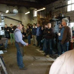
Diploma 17 continues its investigation into new conditions of the contemporary city, interrogating forms of infrastructure and formulating new modalities of integration with the architectural project. This year we immersed ourselves in West Africa,
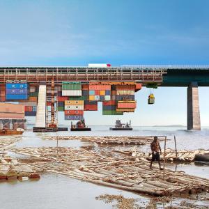
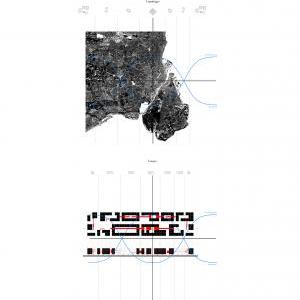
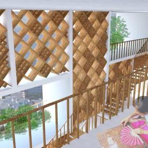
a fascinating region where we discovered the floating communities of Ganvie and Makoko, the endless urban sprawl of Accra, the privatised harbour islands of Lagos, the salt mines and slavery forts on the coast of Ghana, the ancestral Tata territory of Benin, as well as the sunken forests of the Lake Volta. Within this part of the world and these contested territories of rapid urbanisation, we speculated on the possibility of deploying strategies that are challenging the effects of an extreme rural exodus as an urban project that does not fulfil many promises of providing education, healthcare and work for the majority of its population. Taking as a premise the economic viability and extensive growth of productive fields, this year’s brief examined the possibility of coupling existing infrastructure with civic functions. Throughout the year, we constantly debated the benefits and failures of top-down and emergent approaches towards urban organisations and their consequences on issues of governance, ownership and social interaction.
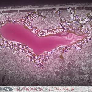
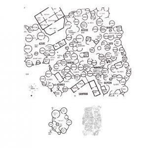
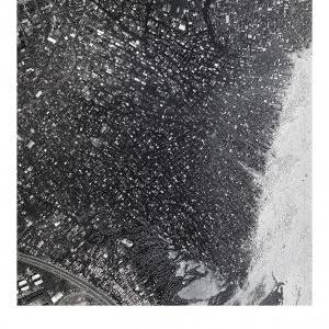
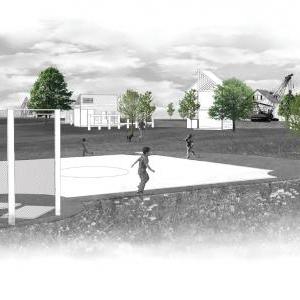
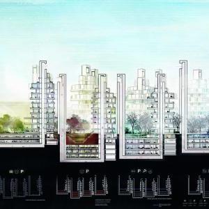
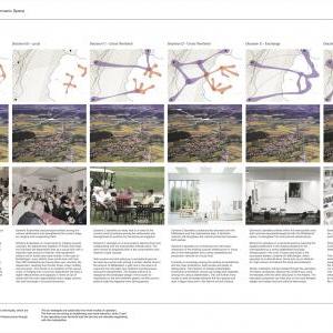
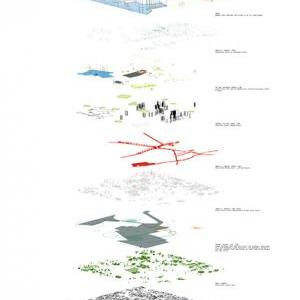
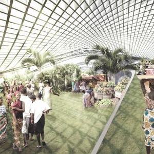
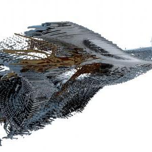
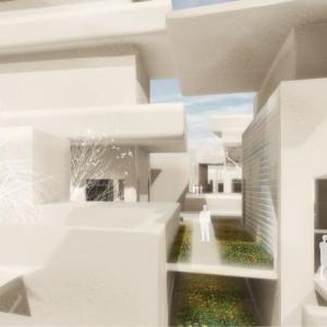
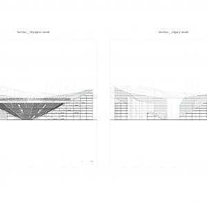
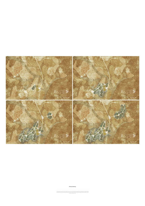
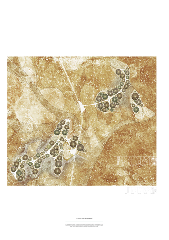
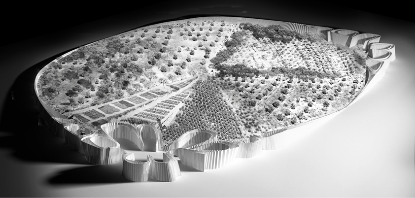
At the urban scale, we experimented with time-based growth patterns as well as combinatory models of organisation that allowed for greater adaptability to changing conditions such as seasonal flooding and programme obsolescence, thus producing economically viable synergies and gradual changes in civic appropriation. At the tectonic scale, we explored geometrical integration of multiple design objectives such as experiential criteria, programme, structure and environmental performance. Through simulation, we explored architectural in terms of its broader environmental impact, such as the design of wind shadows, carving the desert landscape, or manipulating processes of erosion and sedimentation in order to reclaim land and enhance collective experience within and external to architecture. We concluded our investigations with speculative prototypical settlements, nested within productive fields that allowed us to position the architectural project as an integral contribution to a broader socio-political framework.
Unit Staff
Theo Sarantoglou Lalis
Dora Sweijd
Visiting Critics
Kunle Adedeji
Kasper Ax
Edouard Cabay
Javier Castañón
Ryan Dillon
Yannick Denayer
David Erkan
Jonas Lundberg
Tosin Oshinowo- Akinkugbe
Giles Omezi
Kostas Grigoriadis
Kostas Zaverdinos
John Palmesino
Brett Steele
Andrew Wai Tat Yau
Nikos Yiatros
Manja Van
de Worp
Special thanks
Barbara Ann-Campbell Lange
George Massoud & Gabriel Massoud
Kunle Adedeji
Tosin Oshinowo
Kunlé Adeyemi
Isi Etomi
Papa Omotayo
Piet Van Der Merwe
Marc Chaghouri
Azu Nwagbogu & Zainab Ashadu
University of Lagos
The children and professor of the Primary School of Koussoukoingou, Benin
Anne Toussaint
Claudia Hinterseer
Borre Akkersdijk
Allard Bokmad
Support Tutors
Thomas T Jensen
Sebastian Andia
Workshops
Theodore Grousopoulos


John Hudspith
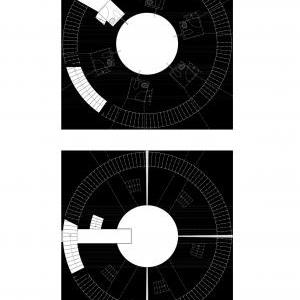
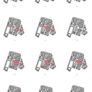
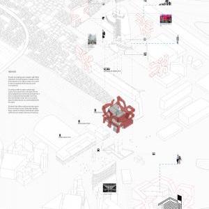
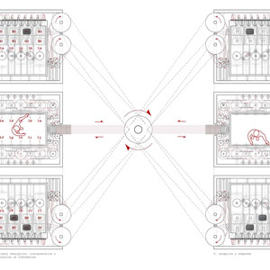
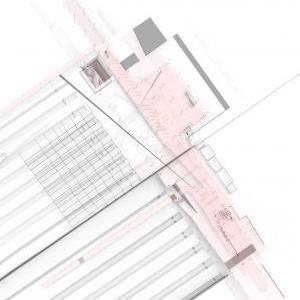
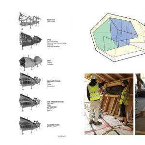
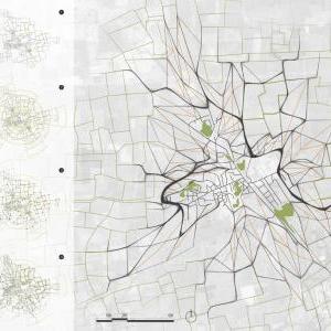
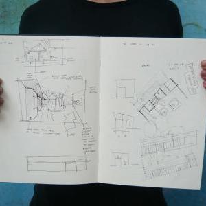
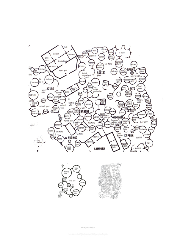
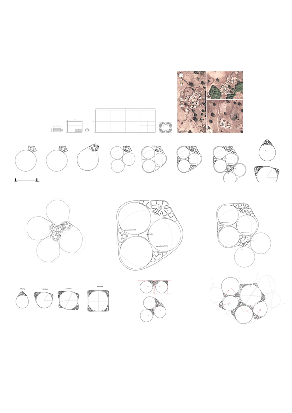
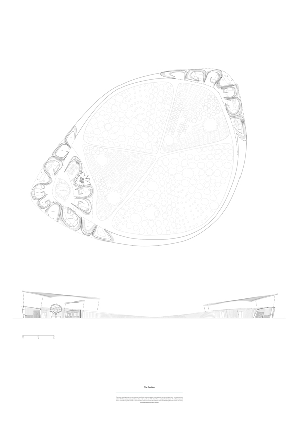
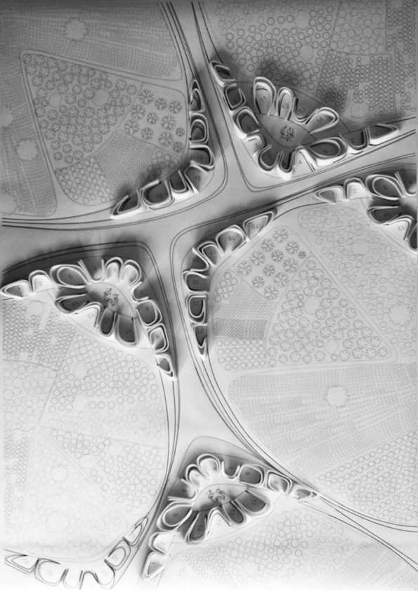
The project is based in Burkina Faso, West Africa and negotiates the relationship between settlement and land use, in particular agriculture. Rather than intensifying the land and intensifying the city, can the two co exist in a more natural way, where workers manage their crop locally? Currently agrarian communities are migrating to trade along new infrastructural road networks. With the availability of tin sheeting, the rural mud dwellings are rapidly changing to rectilinear formations so as to protect from the rain. These polygamous communities change often so the new neighbourhood allows for rooms and land boundaries to merge where families extend organically. A bi-product of one of these agricultural industries are cashew nut shells, these shells are being used a bioplastic for the production of monitors and mobile phones in china. Could this plastic be used as a more flexible formwork and waterproofing to allow for organic and polygamous settlement transformations The use of soil maps when planning offers agricultural viability and possibilities for socially organised settlements to navigate throughout the landscape.